
Meteosat-11 (MSG) Images and Data
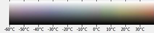
| Updated every 3 hours, the latest image is shown below. Processed in false colour using visible-spectrum data alongside infra-red to give a more "natural" appearance, land surface colour is determined by temperature, i.e. the relatively cool oceans are blue, moderate temperatures such as land with vegetation appear green while hotter, more arid areas such as deserts appear brownish. Clouds are also similarly coloured, lower altitude warmer clouds are white-ish and colder high-altitude ones blueish. This is the scale used:
|
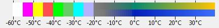
Images captured at the same times each day but processed using only the infra-red spectrum. Using colour to represent temperatures according to this scale:
Oceans are a consistent blue while land areas vary from dull greyish-green to sandy yellow. Cloud cover varies from low altitude relatively warm, displayed as shades of grey through to high altitude intensely cold clouds, most often likely to produce precipitation, which are white. |
| Click on the images below to open them full-size in a new window. |
 |
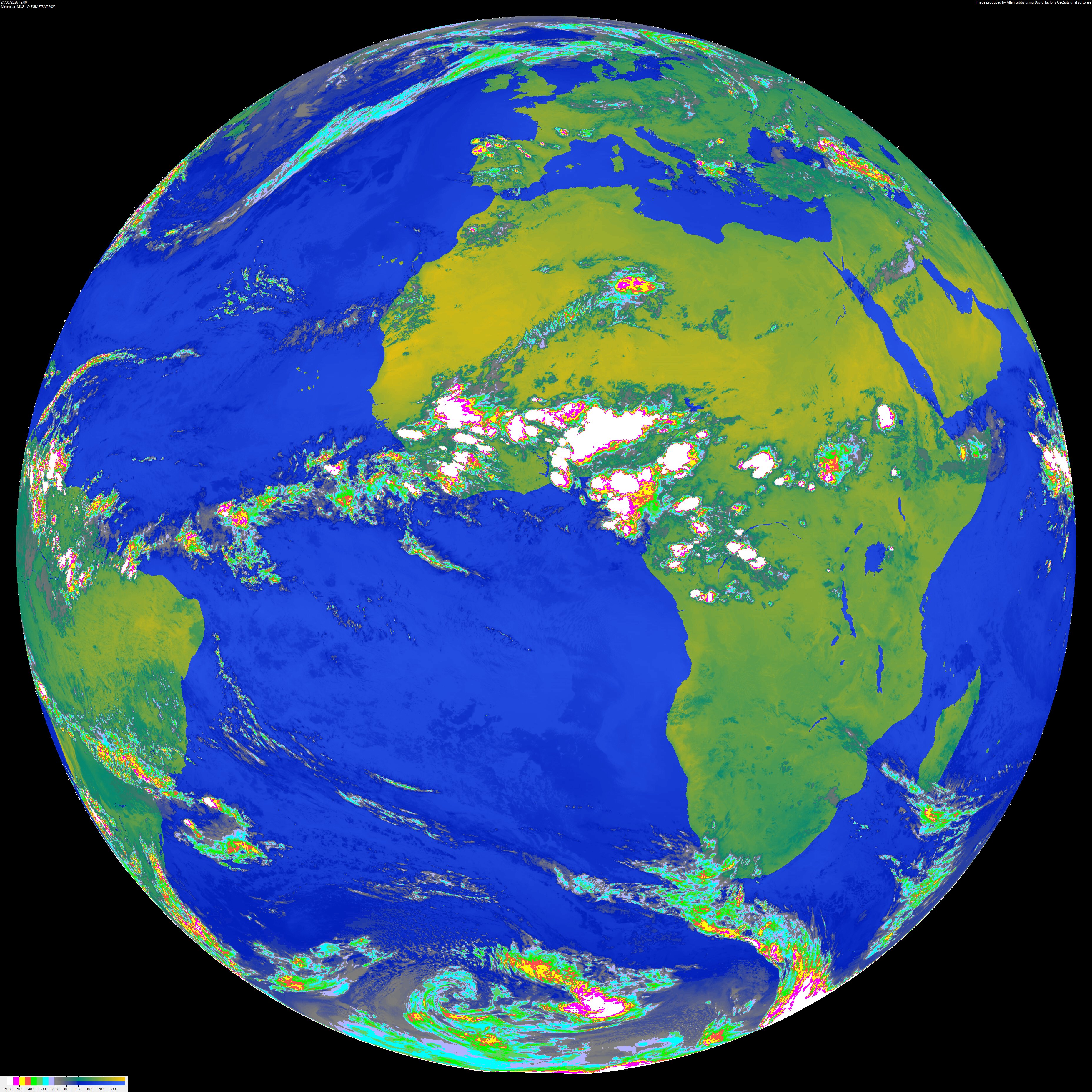 |
Copyright: All image data on this page is © Eumetsat 2022. Data has been processed here by Allan Gibbs using "GeoSatsignal" by David J Taylor.